
Unlocking a Mysterious Subterranean World
Here, Bat Conservation International (BCI) is conducting a large-scale LiDAR (light detection and ranging) scanning project to better understand the site and facilitate conservation. Similar to sonar or radar, LiDAR technology uses light rather than sound to create detailed images of spaces that are otherwise difficult to map.
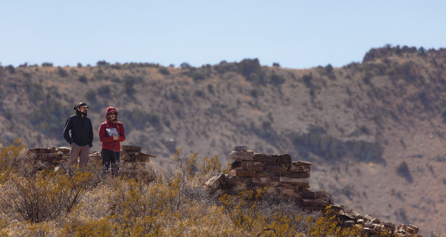
“If you look at a map of the surface, there are literally dozens of openings to these abandoned mines,” says BCI Subterranean Team Lead Shawn Thomas. “Oftentimes, when miners finished up and abandoned the site, they just left what was there, and didn’t necessarily leave a record or make a map of what they created. So, the land managers have never really had a full understanding of what’s underground and how extensive it is.”
Prior to this project, BCI had already spent several years monitoring hibernating bats at Lake Valley, identifying two major and one minor winter hibernacula, as well as warm-season maternity colonies with hundreds of bats. Still, the team was “just sort of popping” into different entrances and struggled to form a complete picture of the site, says Assistant Subterranean Team Lead Jackson Bain.
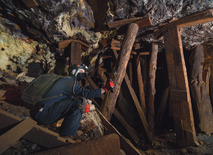
To capture LiDAR scans, the team uses a mobile handheld scanner. The data is then transmitted to BCI’s Geospatial Resources Team Lead Priyesh Patel for post-processing. By matching unique features in overlapping sections, he stitches the LiDAR scans together into a three-dimensional map of the mine’s physical structure. Invariably, some sections need to be rescanned for a cleaner picture, but the end product is a high-quality model of the underground terrain.
At Lake Valley, BCI is working with the Bureau of Land Management and the New Mexico Department of Energy, Minerals and Natural Resources. “It’s hard to manage this resource when you don’t know exactly where it is and how it fits underground,” Bain says. “LiDAR gives a point of reference for land managers to understand the resource they’re dealing with.”
Combining LiDAR with other imagery is a way to document the mines and share them with others. “Pairing LiDAR with photography is a really great way to paint the picture and help people appreciate places that they probably don’t ever get to visit,” adds Thomas. “Fundamentally, it serves as an excellent way to document the habitat and have a visual tool to help explain how bats are using these mines, where they’re roosting, and the important entrances that need to be protected.”